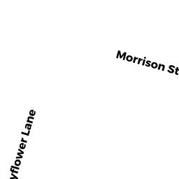
13 MAYFLOWER LN
Owner Information
NIHAN JOHN
7 FRANCONIA AVE
WAREHAM, MA 02571


Property Details
13 MAYFLOWER LN is classified as a Undevelopable Residential Land (Vacant land).
13 MAYFLOWER LN is valued at $7,500. The land is valued at $7,500 and the structures are valued at $0.
This property is in Zone R130. Confirm with local Zoning Board authorities to ensure there are no overlays or other easements on this property.
The most recent deed for 13 MAYFLOWER LN is recorded at the local registrar in Book 13507, Page 0218. 13 MAYFLOWER LN was last sold on Monday, April 3, 1995 for $0.
Assessment data from fiscal year 2022.
Flood Data
According to the FEMA National Flood Hazard Layer, this property does not appear to be in a flood zone. It may also be in an area not yet reviewed. Nonetheless, confirm this information prior to taking any action.
To view the flood hazards around this property, create a FEMA "Firmette" Map of the area around 13 MAYFLOWER LN.
Broadband Internet Providers
| Provider | Type | Bandwidth (mbps) | |
|---|---|---|---|
| Verizon New England Inc. | Fiber | 940 | 880 |
| Comcast | Cable | 1000 | 35 |
| GCI Communication Corp. | Satellite | 0 | 0 |
| Viasat Inc | Satellite | 35 | 3 |
| Verizon New England Inc. | DSL | 5 | 0 |
| VSAT Systems, LLC. | Satellite | 2 | 1 |
| HughesNet | Satellite | 25 | 3 |
Broadband service provider data from December 2020.
Adjacent Properties
- 0 TERRY LN
Improved, Selectmen or City Council (Municipal) owned by TOWN OF WAREHAM - 0 FONSECA WY
Undevelopable Residential Land owned by CORNERSTONE ESTATES 2 - 15 MAYFLOWER LN
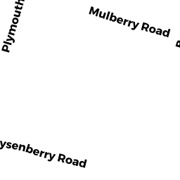
Single Family Residential owned by PAPP BIANKA I - 72 PLYMOUTH AVE
Single Family Residential owned by LHEUREUX JAMES ROBERT JR - 62 PLYMOUTH AVE
Undevelopable Residential Land owned by BREMIS JAMES & IRENE TRUSTEES - 11 MAYFLOWER LN
Single Family Residential owned by ROUSSEAU MICHAEL G